Analyze Catchment
![]() Used to calculate the
drainage/catchment areas from the surface.
Used to calculate the
drainage/catchment areas from the surface.
Ribbon: Terrain > Analysis > Hydraulic>Analyze Catchment
Workflow
Note: It is recommended
to place a fence around the area where the catchment area is to be calculated
to reduce the amount of time it takes. Additionally, the Catchment area element
is 2D, so it is recommended that the command be run in a 2D model.
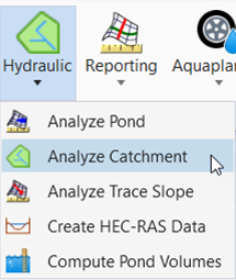
- Select the Analyze Catchment as shown in the above image.
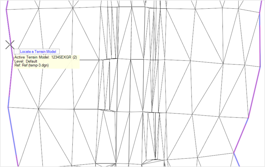
- Locate the terrain model in the dgn file as below.
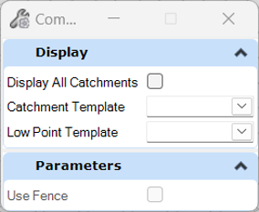
- Uncheck the Display All
Catchments and Select the feature definition for the catchment.
The Display All Catchment box displays all catchments on the terrain model, whereas if it's not selected, it only displays the catchment chosen by the user.
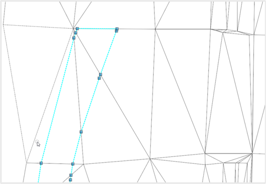
- Select the required catchment and then the function creates a line string passing through all the data points for that catchment as shown below.